Cities · Puzzle #32 · Saturday, October 31
Cities: the board
Eight items, eight categories, one place each. Here is the board with every figure and where it comes from, and the best way to place them. Play today's Cities.
The categories
- Most looked-up: 1 pt per 150,000 Wikipedia views in 2025
- Sprawl: 1 pt per doubling over 2 square miles
- Hot spot: 1 pt per 5°F of yearly average over 30°F
- Rainy: 1 pt per 8 inches of rain a year
- Far from the equator: 1 pt per 6° north or south
- Big city: 1 pt per doubling over 10,000 people
- High altitude: 1 pt per 500 ft above sea level
- Known worldwide: 1 pt per 30 Wikipedia languages
The best board
The best board is hidden while some of these items are still in play: they're on a board again within 14 days.
The lineup, figure by figure
Lhasa
Tibet, China
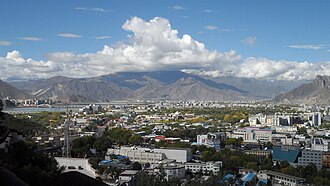
Photo: 钉钉, CC BY-SA 4.0 On this board Lhasa scored best in High altitude (10.0): it sits 11,450 ft above sea level. Known worldwide was its weakest fit (1.2): Wikipedia has an article on it in 35 languages.
- Most looked-up
- its Wikipedia article was read 236,310 times in 2025 (1.6) Source: Wikimedia page views
- Sprawl
- covers 200 square miles (6.6) Source: Wikidata Q1026100, P2046
- Hot spot
- averages 40°F over the year (2.0) Source: Wikipedia
- Rainy
- gets 18 inches of rain a year (2.3) Source: Wikipedia
- Far from the equator
- lies 30° from the equator (4.9) Source: Wikipedia
- Big city
- has 279,074 people within its city limits (4.8) Source: Wikidata Q1026100, P1082, 2010
- High altitude
- sits 11,450 ft above sea level (10.0) Source: Wikidata Q1026100, P2044
- Known worldwide
- Wikipedia has an article on it in 35 languages (1.2) Source: Wikipedia
Bengaluru
Karnataka, India
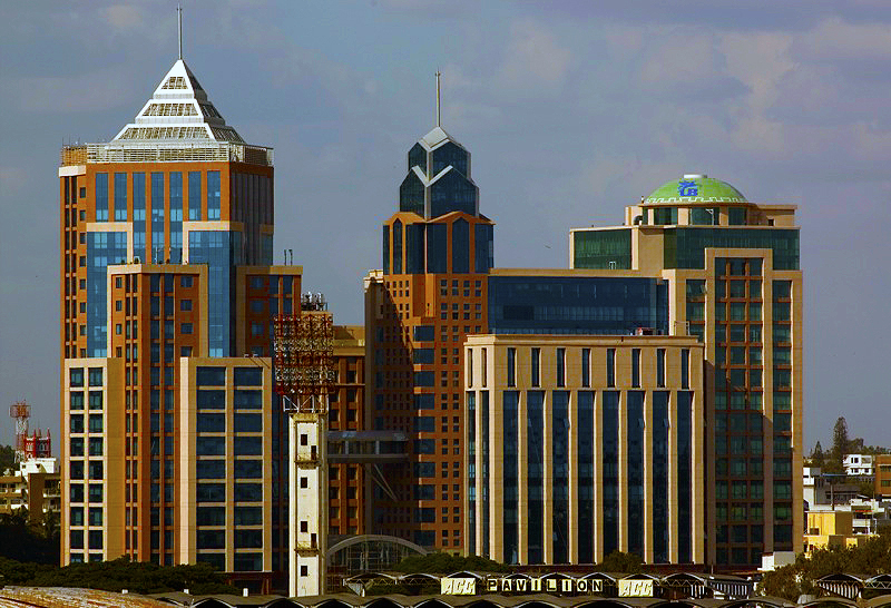
Photo: Wikimedia Commons, CC BY-SA 2.0 Its figures are hidden while it's still in play: it's on a board again within 14 days.
Detroit
Michigan, USA
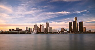
Photo: Michael Tighe, CC0 Its figures are hidden while it's still in play: it's on a board again within 14 days.
Vienna
Austria
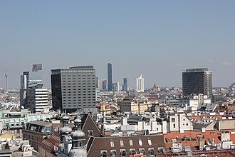
Photo: Andrzej Otrębski, CC BY-SA 4.0 Its figures are hidden while it's still in play: it's on a board again within 14 days.
Oslo
Norway
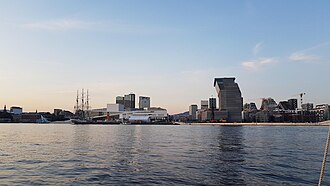
Photo: Audun, CC BY-SA 4.0 On this board Oslo scored best in Far from the equator (10.0): it lies 60° from the equator. High altitude was its weakest fit (0.2): it sits 75 ft above sea level.
- Most looked-up
- its Wikipedia article was read 645,965 times in 2025 (4.3) Source: Wikimedia page views
- Sprawl
- covers 175 square miles (6.5) Source: Wikidata Q585, P2046
- Hot spot
- averages 40°F over the year (2.1) Source: Wikipedia
- Rainy
- gets 41 inches of rain a year (5.2) Source: Wikipedia
- Far from the equator
- lies 60° from the equator (10.0) Source: Wikipedia
- Big city
- has 717,710 people within its city limits (6.2) Source: Wikidata Q585, P1082, 2024
- High altitude
- sits 75 ft above sea level (0.2) Source: Wikidata Q585, P2044
- Known worldwide
- Wikipedia has an article on it in 245 languages (8.2) Source: Wikipedia
Dar es Salaam
Tanzania
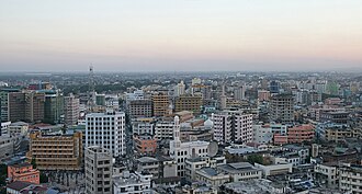
Photo: Muhammad Mahdi Karim, GFDL 1.2 Dar es Salaam averages 80°F over the year, so its best fit on this board was Hot spot, worth 10.0. Its weakest was High altitude, worth 0.1, since it sits 39 ft above sea level.
- Most looked-up
- its Wikipedia article was read 401,759 times in 2025 (2.7) Source: Wikimedia page views
- Sprawl
- covers 538 square miles (8.1) Source: Wikidata Q1960, P2046
- Hot spot
- averages 80°F over the year (10.0) Source: Wikipedia
- Rainy
- gets 45 inches of rain a year (5.6) Source: Wikipedia
- Far from the equator
- lies 6.8° from the equator (1.1) Source: Wikipedia
- Big city
- has 4.71 million people within its city limits (8.9) Source: Wikidata Q1960, P1082, 2016
- High altitude
- sits 39 ft above sea level (0.1) Source: Wikidata Q1960, P2044
- Known worldwide
- Wikipedia has an article on it in 142 languages (4.7) Source: Wikipedia
Bergen
Norway
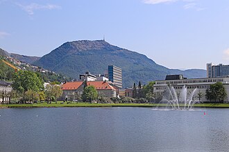
Photo: W. Bulach, CC BY-SA 4.0 Its figures are hidden while it's still in play: it's on a board again within 14 days.
Ankara
Turkey
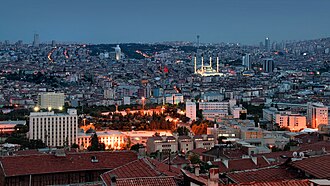
Photo: Jorge Franganillo from Barcelona, Spain, CC BY 2.0 Ankara covers 9,897 square miles, so its best fit on this board was Sprawl, worth 10.0. Its weakest was Rainy, worth 2.1, since it gets 17 inches of rain a year.
- Most looked-up
- its Wikipedia article was read 517,696 times in 2025 (3.5) Source: Wikimedia page views
- Sprawl
- covers 9,897 square miles (10.0) Source: Wikidata Q3640, P2046
- Hot spot
- averages 51°F over the year (4.1) Source: Wikipedia
- Rainy
- gets 17 inches of rain a year (2.1) Source: Wikipedia
- Far from the equator
- lies 40° from the equator (6.7) Source: Wikipedia
- Big city
- has 5.8 million people within its city limits (9.2) Source: Wikidata Q3640, P1082, 2023
- High altitude
- sits 3,077 ft above sea level (6.2) Source: Wikidata Q3640, P2044
- Known worldwide
- Wikipedia has an article on it in 241 languages (8.0) Source: Wikipedia


